Warning: Undefined array key "action" in /home3/dolphinm/romegatrade.dolphinmanagement.ro/wp-content/themes/Avada-Child-Theme/functions.php on line 2

Warning: Undefined array key "action" in /home3/dolphinm/romegatrade.dolphinmanagement.ro/wp-content/themes/Avada-Child-Theme/functions.php on line 7
Faro ScanPlan – Ro-Mega Trade

Working Hours:
Monday-Friday: 9AM – 5PM

Address:
Ilfov, 077190, Hyperion Towers,
Oraș Voluntari, Bulevardul Pipera, Nr. 1/VI

  • Ilfov, 077190, Hyperion Towers,
    Oraș Voluntari, Bd. Pipera, Nr. 1/VI

  • Monday-Friday: 9AM – 5PM

Faro ScanPlan

You are here:Home/Measuring systems/3D Laser Scanning/Faro ScanPlan

Faro ScanPlan

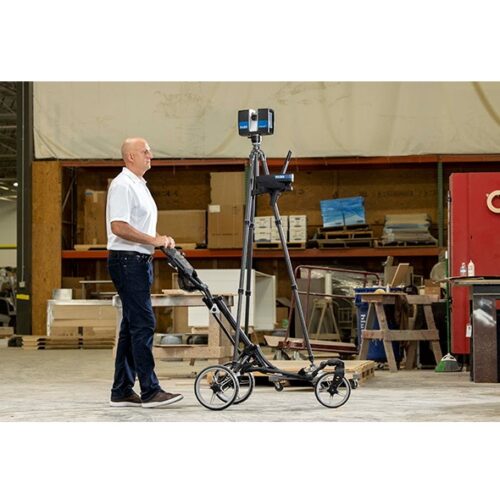
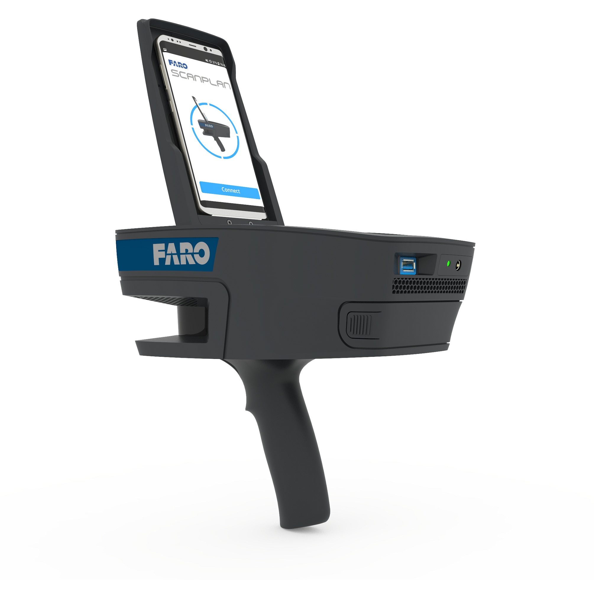
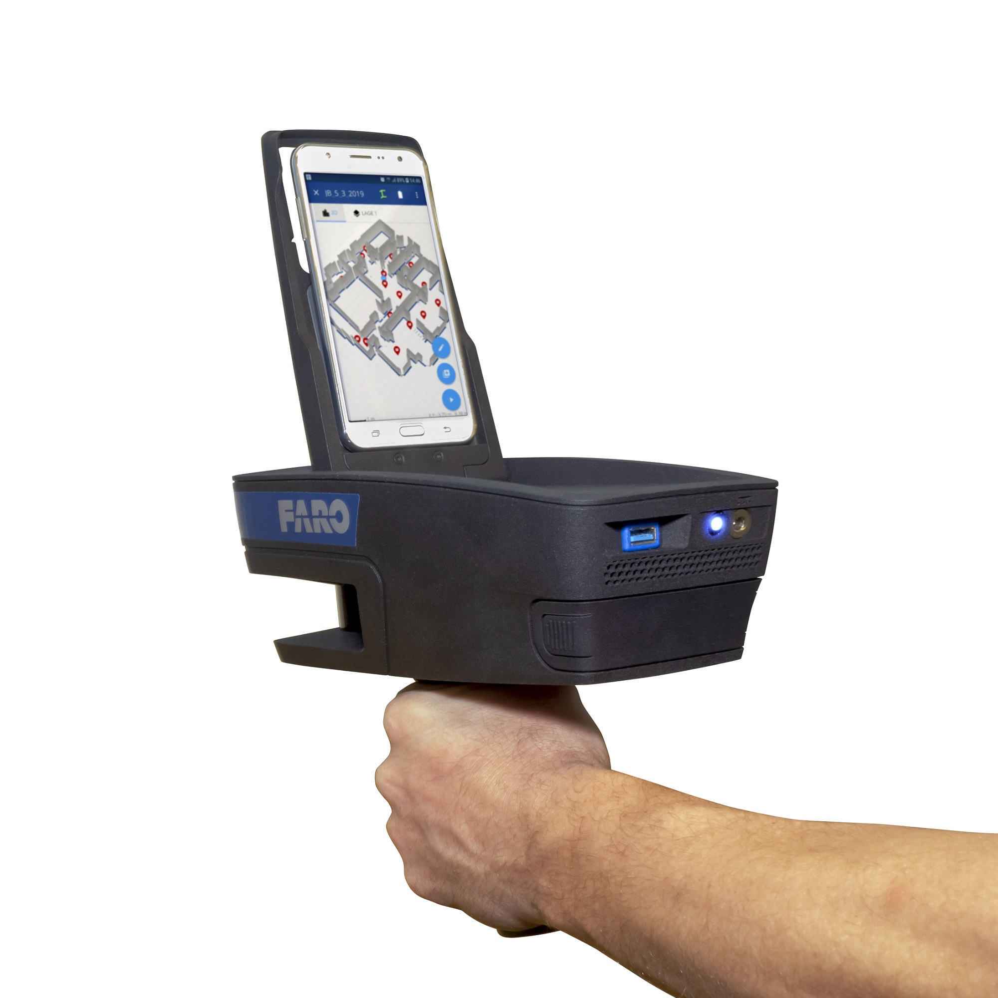
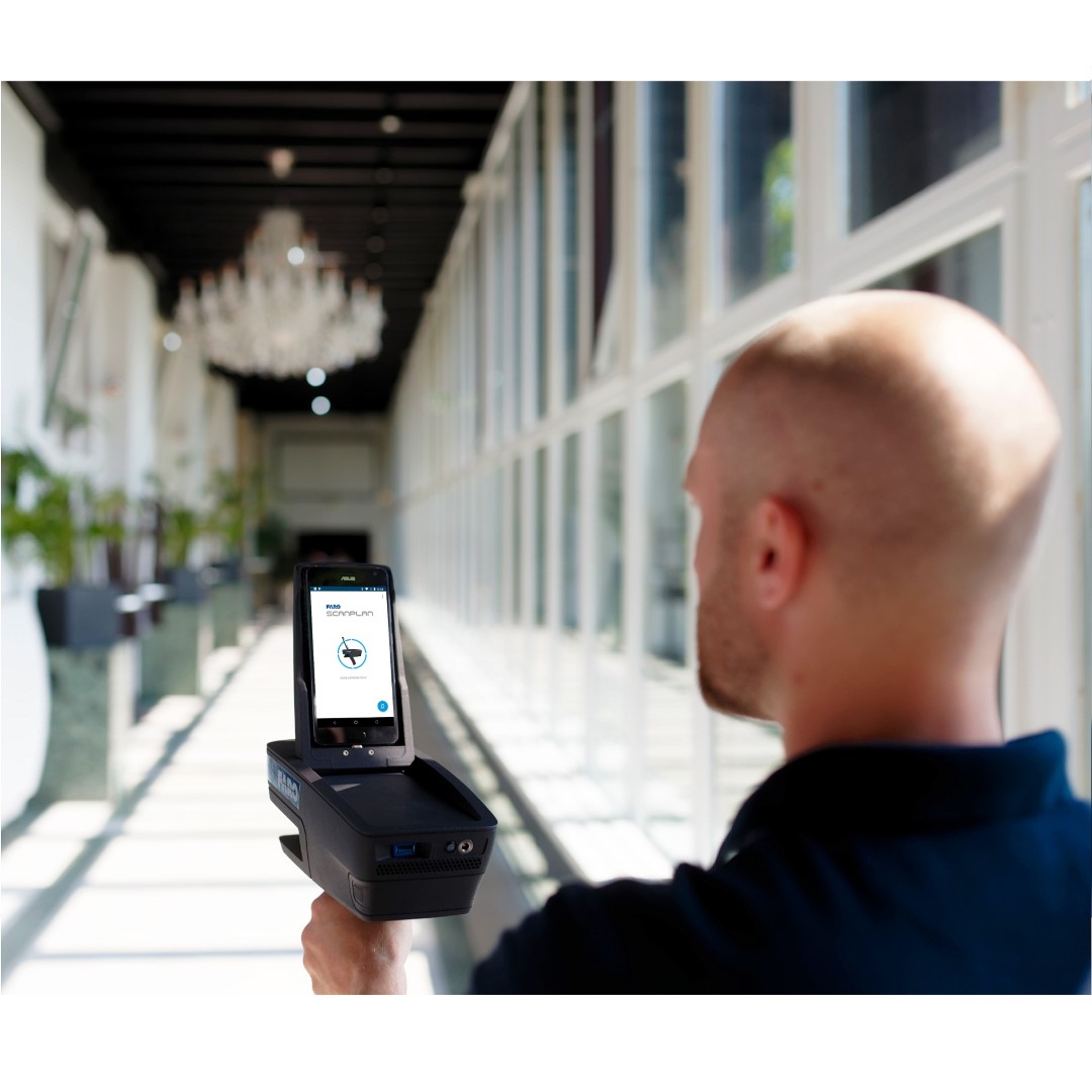
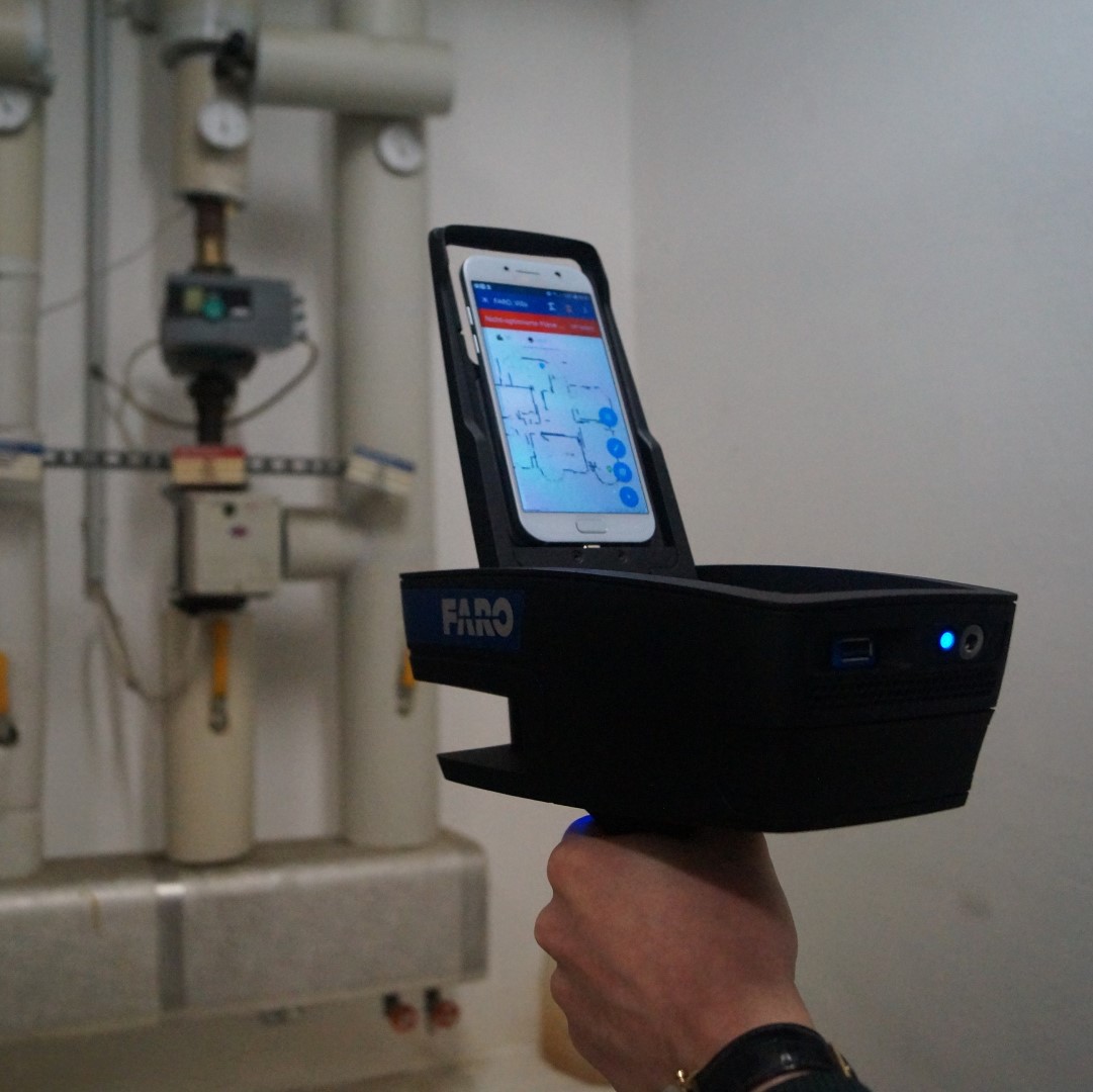
FARO ® ScanPlan is an innovative handheld device that significantly speeds up the 2D floor plan acquisition process. It is the ideal tool for anyone needing to quickly obtain as-built building plans for risk assessment, pre-accident planning, fire safety engineering, 2D as-built documentation, or optimal scanning project planning.

ScanPlan can be used to create floor plans of large and small buildings, such as homes, schools, shopping malls, public premises, offices, construction sites and other types of buildings.

Description

Function:

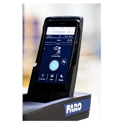
  • ScanAssist – ScanAssist automatically calculates the best positions of the laser scanner based on the recorded 2D map. Information about the size of the building, as well as the required number and positions of the individual scans, provides comprehensive coverage of the site to be scanned and a quick overview of the status of the scan job.
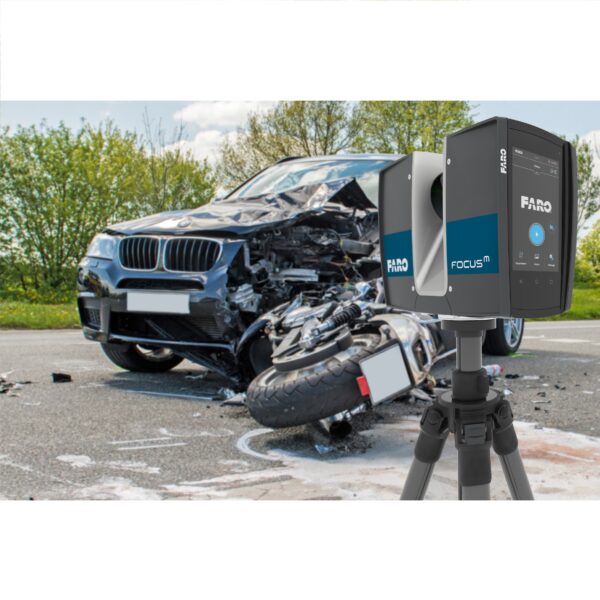
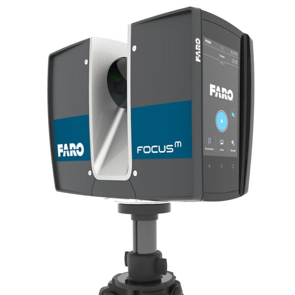
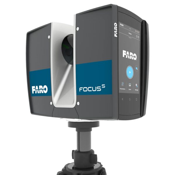
  • Scan Localizer – Scan Localizer functionality makes it easy to pre-align individual scans, especially when the small percentage of overlap between scans prevents them from being properly recorded. By transferring the ScanPlan position to a FARO Focus laser scanner, individual 3D scans are already positioned to simplify and ensure proper registration in the FARO SCENE software.
  • DXF file export – This DXF file export feature allows direct use of the captured 2D map in the client’s target application. The data can be used in any CAD system for further modeling, without prior conversion, for a smoother and more efficient workflow.
  • PanoCam / VR – With PanoCam, users benefit from panoramic images, located in the level planes, to obtain a 360 ° overview with the captured area.

Title

Go to Top